The Tri-State Agreement and Platte River Recovery Implementation Program
We are republishing this post with some updated information from the Platte River Recovery Implementation Program. Our thanks to PRRIP for their input!
The Platte River Basin, including the South Platte River in Colorado and the North Platte River in Wyoming, is an important water supply source for both states, as well as Nebraska through the Central Platte River Valley. However, due to the presence of endangered species in the Central Platte River Valley, it is recognized as a critical environmental zone. As such, the extensive use of Platte River water means that depletions associated with these uses are affecting endangered species habitats and make these uses subject to the Endangered Species Act of 1973.

Whooping cranes along the Platte. Source: PRRIP.
Because of the endangered species concerns and the potential limitations on future water supply development in these basins, the three states entered into negotiations on how to protect the endangered species in Nebraska. After several years of negotiations an agreement was signed in 1997 among the three states, Colorado, Wyoming, and Nebraska, as well as the Secretary of the Interior, to protect flows in both the North and South Platte Rivers, as well as the Central Platte River Basin downstream of the confluence. The official name of the Agreement is “The Cooperative Agreement for Platte River Research and Other Efforts Relating to Endangered Species Habitats Along the Central Platte River, Nebraska.” The purpose of the Agreement was to protect endangered species in Nebraska through the Central Platte River valley so the states will be in compliance with the Endangered Species Act.
The Agreement has two main objectives:
(1) to develop and implement a "recovery implementation program" to improve and conserve habitat for [four] threatened and endangered species, including the whooping crane, piping plover, interior least tern and pallid sturgeon, and
(2) to enable existing and new water uses in the Platte River watershed to proceed without actions beyond the Program for the four species under the Endangered Species Act.
The Department of the Interior was a signatory to the agreement because the U.S. Fish and Wildlife Service has developed target flows to be achieved through the Central Platte River Basin to protect the endangered species.

From the Agreement, the Platte River Recovery Implementation Program (“PRRIP”) was developed and agreed to by the three states in a 2006 agreement. The purpose of the PRRIP was develop a long-term plan to modify river flows so that low flow periods that could negatively affect endangered species be minimized. Each state had the responsibility to provide supplemental flows to the endangered species reaches.
The PRRIP is designed to provide compliance with the Endangered Species Act while, at the same time try to protect historic water uses in the Platte River Basin. To this end the states have agreed to the following as Milestones specific to the First Increment of the Program:
provide additional or modified river flows throughout the central Platte River habitat,
improve habitat for endangered species by protecting up to 10,000 acres of suitable land between Lexington and Chapman, Nebraska, and
mitigate or offset habitat impacts resulting from new water-development activities in the basin.
The overall goal of the PRRIP is to reduce flow shortages, as defined by the U.S. Fish and Wildlife Service (“USFWS”), at Grand Island by an average of 130,000-150,000 acre-feet per year as Milestones. Each state has assumed a responsibility to achieve this objective, as the North Platte River flows from Wyoming to Nebraska and the South Platte River flows from Colorado to Nebraska.
(1) For Wyoming, it has agreed to modify Pathfinder Reservoir in Wyoming to store water in an environmental account,
(2) For Colorado, it has agreed to construct the Tamarack Project to remove water from the South Platte River during times of excess flows and return it to the river through groundwater recharge when needed, and
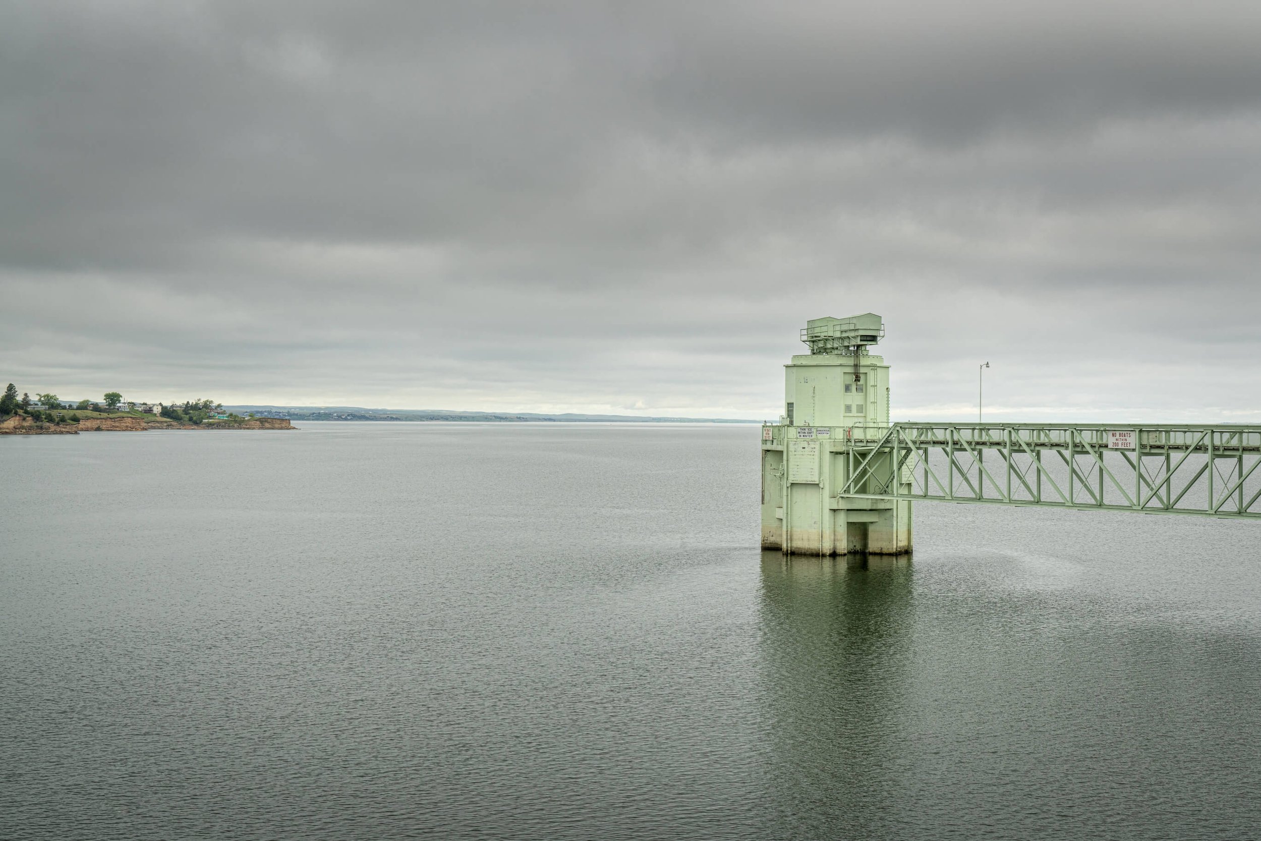
Lake McConaughy, Nebraska, view from Kingsley Dam with water inlet structure. Credit: Photo 149208048 / Lake Mcconaughy © Marek Uliasz | Dreamstime.com
(3) For Nebraska, it has agreed to operate Kingsley Dam and related Nebraska facilities to provide an "environmental account" to be managed by the USFWS not to exceed 200,000 acre-feet. This water will be stored in Lake McConaughy for environmental purposes.
These three actions are designed to provide 80,000 acre-feet of flow to the Central Platte River Basin, therefore, the additional flow to meet target flows must be obtained through other means. The goal for land is to develop and/or protect at least 10,000 acres of suitable habitat in the Central Platte River Basin as a Milestone specific to the First Increment of the Program .
More details on Colorado’s contribution to the PRRIP will be discussed in an upcoming blog.
LWS is currently participating in a joint municipal/agricultural water supply project, the Platte Valley Water Partnership, that will provide new water supplies for both agricultural users along the Lower South Platte River Basin as well as municipal interests along the Front Range (see LWS September 2020 blog series on an “Integrated and Sustainable Water Management Plan for a Growing City - A Case Study” Part 1, Part 2, Part 3). If you have any water rights or surface water hydrology issues, feel free to give us a call (303-350-4090) or an email.
Bruce Lytle, P.E. bruce@lytlewater.com
Chris Fehn, P.E., P.G. chris@lytlewater.com
Ben Bader ben@lytlewater.com
Anna Elgqvist, E.I. anna@lytlewater.com